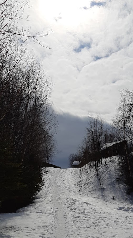
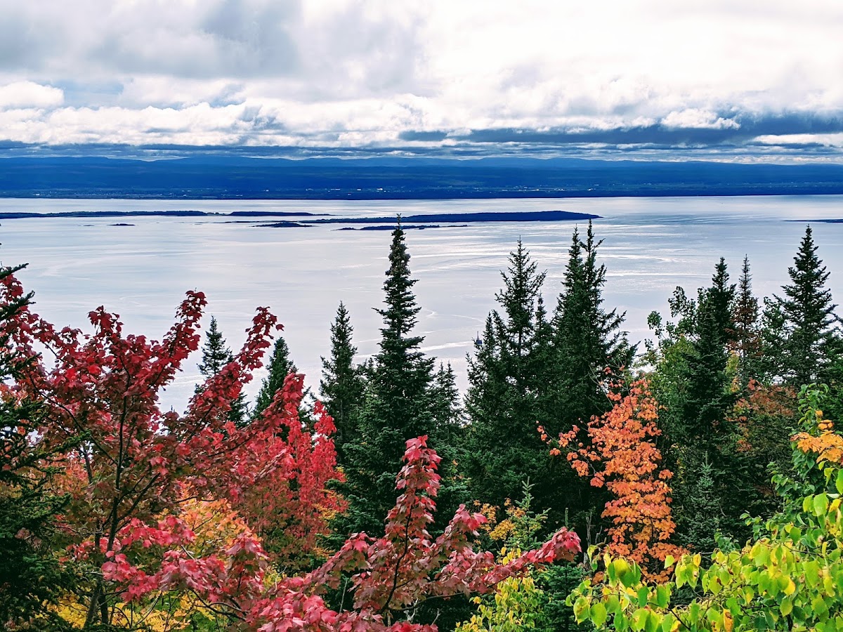
Photo from the Google My Business profile of
Sentier des Caps de Charlevoix
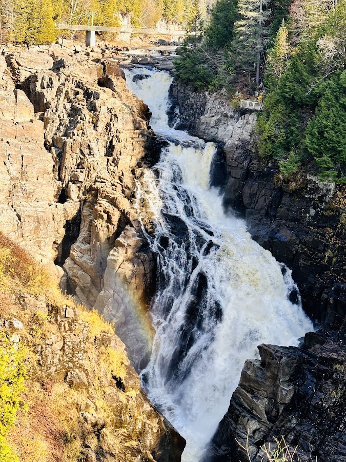
Sentier des Caps de Charlevoix
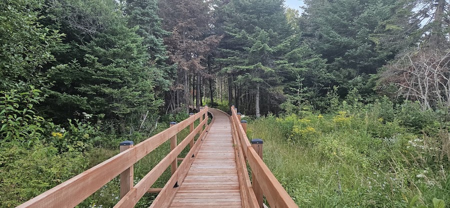
The Sentier des Caps de Charlevoix is a hiking and snowshoeing network in Saint-Tite-des-Caps, right at the entrance to Charlevoix. It offers stunning viewpoints of the St. Lawrence River all year round. If you're exploring the corridor between Quebec City and Charlevoix, this is a great outdoor option that you can combine with activities in the Saint-Ferréol-les-Neiges area.
Practical Information
Contact details and useful links for this activity.
Contact Details
- 2, rue Leclerc, Saint-Tite-des-Caps, QC G0A 4J0, Canada
- 418-823-1117866-823-1117
- info@sentierdescaps.com
- sentierdescaps.com
Location on the Map
An indicative map showing where this activity is located in relation to your accommodation.
This establishment is neither owned nor managed by
Auberge & Campagne
This information comes from public sources and aims to promote the Gaspésie region internationally. For any changes or removal, please
Contact UsThe Sainte-Anne-du-Nord River is located in the Beaupré region.

Houses on the Cape is an outdoor property located in Saint-Joachim.

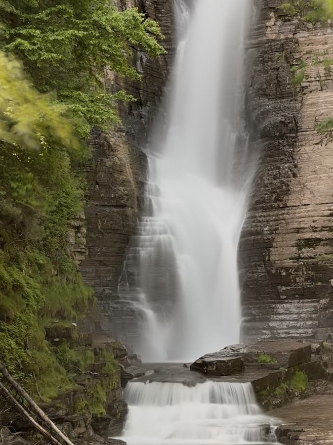
Canyon Sainte-Anne is a natural site located in Beaupré.
Marais des Graves is an outdoor site located in Saint-Joachim, Quebec.
Parc du Marécage du Curé is an outdoor site located in Beaupré.
Larose Falls is a natural spot located in Beaupré, Quebec.
Pente cachée is an outdoor spot located in Beaupré.
Cap Tourmente is a natural site located in the Beaupré region.
The Hanging Bridge is an outdoor site located in Beaupré.
Cliff Park is a park located in Beaupré, Quebec.